

Hi, Fremont! I’m Liam Wong, bringing you a deeper dive into how our local weather patterns and environmental trends are shaping life here—and what we might expect as climate shifts intensify.
Understanding Fremont’s Climate Basics
Fremont falls under a warm-summer Mediterranean climate (Köppen Csb), which means we enjoy mild, wet winters and warm, dry summers. Our average high temperatures during summer peak in the upper 70s°F, while winter lows tend to hover in the low 40s°F. Annual precipitation averages around 16 inches, with most rain falling between November and March.
Seasonal Details & Microclimates
• Summer brings clear skies and almost no rain—perfect for outdoor gatherings, though the dry conditions raise wildfire risks along the hills.
• Winter doesn’t mean freezing cold, but we do get colder nights and our wettest periods. Rainfall is heaviest in January and February.
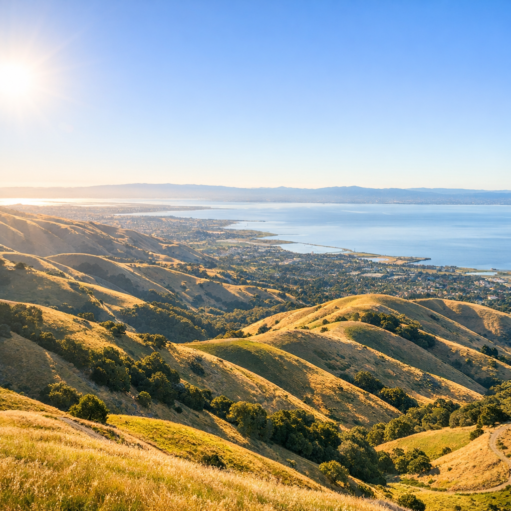
• Microclimates matter. Temperatures at hilltops like Mission Peak will differ from flats near the Bay. Proximity to Diablo Range influences rainfall amounts moving eastward.
Environmental Challenges on the Horizon
As temperatures warm globally, Fremont is anticipating shifts that demand our planning:
- More heat days: We’ll likely see more days above 90°F, stressing vulnerable populations and urban infrastructure.
- Shifts in rain patterns and flood risk: Increasing frequency of intense storms, or atmospheric rivers, can lead to flooding—especially in low-lying areas like Coyote Hills and industrial districts.
- Sea level rise and coastal impacts: By 2050, sea level rise combined with high tides and storm surge could inundate parts of Fremont’s shoreline and marshlands.
- Wildfire risk: Dry summers and spring vegetation growth set the stage for wildfires, especially in hillside zones with high fuel loads. Smoke impacts can degrade air quality deeply.
Air Quality & Local Pollution Monitoring
Even without major fires, air pollution—including ozone and fine particulates—can become a concern, particularly in still summer weather. Urban and industrial activities contribute, and places near transportation corridors or large factories often see higher localized pollution.
The Bay Area, including Fremont, continues to rank poorly in some national air quality health metrics—especially for ozone exposure and small particulates—according to recent reports.
What Fremont Is Doing—and What You Can Do
The city’s Climate Action Plan, adopted in 2023, sets goals like reducing greenhouse gas emissions significantly by 2030, upgrading infrastructure to endure heat waves, and protecting low-lying zones from sea level rise.
At a local level, here are practical steps residents can take:
- Plant native and drought-tolerant landscaping to reduce water use and fire hazard near homes.
- Check air quality forecasts before outdoor exercise, especially on hot summer days.
- Support shared transit and electric vehicle infrastructure—less smoke, fewer emissions.
- Stay informed about local flooding evacuation planning, particularly if you live near Coyote Hills or the Bay shoreline.
Looking Ahead: Resilience & Adaptation
Fremont’s path forward will depend on community choices, city planning, and how climate trends evolve. More green infrastructure, wise land use zoning, and equitable distribution of resources will all be essential. It’s not just about forecast numbers—it’s about building a healthier, more resilient Fremont for us and our neighbors.
If you’re curious about more localized forecasts or want to contribute to environmental efforts in your community, I’m happy to help you find more info. Stay weather-wise and stay engaged—our climate story is still being written together.